Viewpoints: American Truck Simulator
Viewpoints are locations where the driver can trigger an in-game “cutscene” that showcases the nearest point of interest to the player. They are identified by a green, 3D film-camera icon and marked with a ![]() on the map. There are a total of 123 viewpoints in American Truck Simulator.
on the map. There are a total of 123 viewpoints in American Truck Simulator.
Summary
When approaching and stopping at a viewpoint, the player must turn off their vehicle. The player then presses 'ENTER' in order to activate the viewpoint. When the cutscene is playing, the player can press 'ESCAPE' or watch the cutscene. The player can play the cutscene again. Since update 1.46, viewpoints are available to watch anytime through the gallery after activating them.
Locations
Base game
| Number on Map | State | City/Road | Location | Place of interest | Photo |
|---|---|---|---|---|---|
| California | East of Eureka | Burney Vista Point | 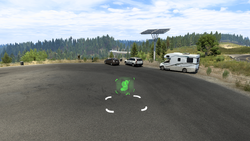
| ||
| Richmond | In front of HMS Machinery in Point Richmond | Richmond Bridge | 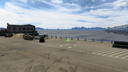
|
Map
TBA
Colorado
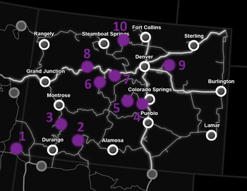
| Number on Map | State | City/Road | Location | Place of interest | Photo |
|---|---|---|---|---|---|
| 1 | New Mexico | Between Kayenta, Arizona and Durango | Four Corners Monument | 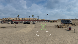
| |
| 2 | Colorado | Between Durango and Alamosa | Wolf Creek Pass | 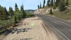
| |
| 3 | Ouray | On |
Million Dollar Highway | 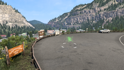
| |
| 4 | Colorado Springs | Wallbert market west of the city | Colorado Springs | 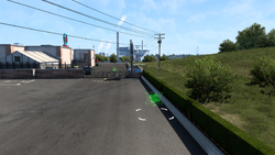
| |
| 5 | Colorado Springs | At the NAMIQ warehouse west of the city | Cripple Creek & Victor Gold Mine | 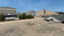
| |
| 6 | South of |
Red Cliff Bridge | 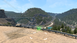
| ||
| 7 | West of Denver | Eisenhower Tunnel | 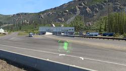
| ||
| 8 | East of Grand Junction | Glenwood Canyon | 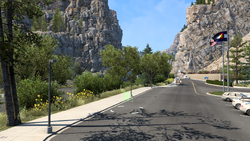
| ||
| 9 | Denver | On E 75th Ave south of Peña Blvd east of the city | Denver Airport | 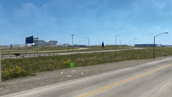
| |
| 10 | Between Steamboat Springs and Fort Collins | Rocky Mountain National Park | 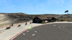
|
Map
Idaho
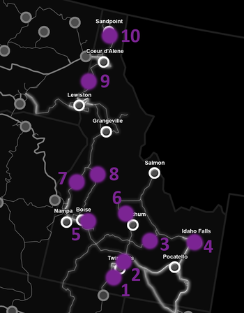
| Number on Map | State | City/Road | Location | Place of interest | Photo |
|---|---|---|---|---|---|
| 1 | Idaho | Twin Falls | Sunshine Crops farm south of the city | Twin Falls potato farm | 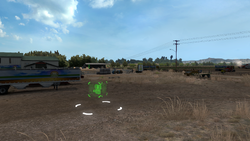
|
| 2 | North of Twin Falls | Perrine Memorial Bridge | 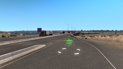
| ||
| 3 | Between Ketchum and Idaho Falls | Craters of the Moon National Monument & Preserve | 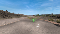
| ||
| 4 | Idaho Falls | On |
The city of Idaho Falls | 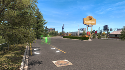
| |
| 5 | Boise | On |
The city of Boise | 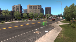
| |
| 6 | North of Ketchum | Galena Summit | 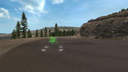
| ||
| 7 | North of Ontario, Oregon | Midvale Hill Rest Area | 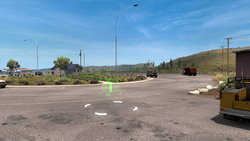
| ||
| 8 | McCall | On |
The town of McCall | 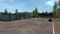
| |
| 9 | At a Deepgrove timber harvest between Coeur d'Alene and Lewiston | Timber Harvest site | 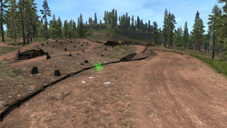
| ||
| 10 | Sandpoint | On Superior Street south of the city | The city of Sandpoint | 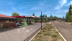
|
Map
Kansas
| Number on Map | State | City/Road | Location | Place of interest | Photo |
|---|---|---|---|---|---|
| Kansas | Dodge City | Entrance to Dodge City | |||
| Southwest of Emporia | Bazaar Cattle Pens | ||||
| South of |
Farm and Surrounding Area | ||||
| Hutchinson | Elevators in Hutchinson | ||||
| Junction City | Junction City Centre | ||||
| Kansas City | Kansas City | ||||
| West of Wichita | Butler Country Line | ||||
| West of Wichita | El Dorado | ||||
| Hidden on a secret road, east of |
Monument Rocks | ||||
| Hidden on a secret road, south of |
Mount Sunflower |
Map
Montana
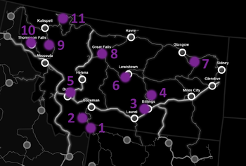
| Number on Map | State | City/Road | Location | Place of interest | Photo |
|---|---|---|---|---|---|
| 1 | Montana | East of West Yellowstone | Yellowstone National Park | 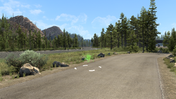
| |
| 2 | Northwest of West Yellowstone | Earthquake Lake | 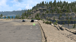
| ||
| 3 | Billings | In an alley next to Billings Hotel on the corner of Montana Street and North 27th Street | City of Billings | 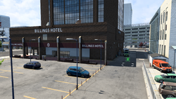
| |
| 4 | In front of the NAMIQ warehouse to the north of Billings | Signal Peak Coal Mine | 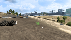
| ||
| 5 | Butte | Near the Faraday Energy substation in the northern part of Butte | City of Butte | 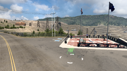
| |
| 6 | Lewistown | In front of Bitumen on the western edge of Lewistown | Lewistown | 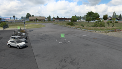
| |
| 7 | Fort Peck | On |
Fort Peck Spillway | 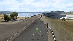
| |
| 8 | Great Falls | On River Drive in the northern part of Great Falls | Great Falls | 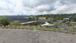
| |
| 9 | Between Kalispell and Missoula | Flathead Lake | 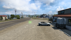
| ||
| 10 | Thompson Falls | In front of the Voltison Motors warehouse | Thompson Falls (18 WoS Heritage) | 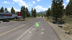
| |
| 11 | Going-to-the-Sun Road | Between West Glacier and St. Mary | Glacier Natl. Park | 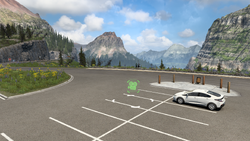
|
Map
New Mexico
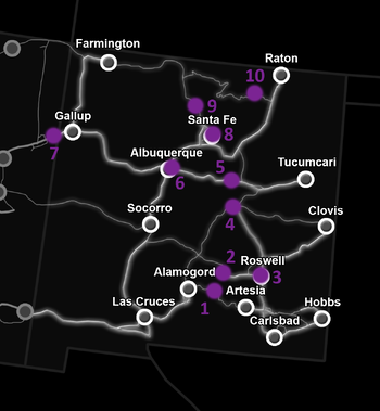
| Number on Map | State | City/Road | Location | Place of interest | Photo |
|---|---|---|---|---|---|
| 1 | New Mexico | Between Alamogordo and Artesia | US-82 rest area | 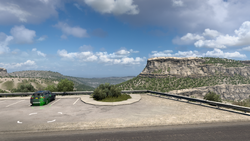
| |
| 2 | Between Alamogordo and Roswell | The Historic Monument of Lincoln | 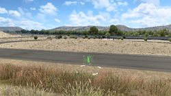
| ||
| 3 | Roswell | On |
The city of Roswell | 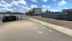
| |
| 4 | Vaughn | On |
The city of Vaughn | 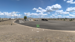
| |
| 5 | Between Albuquerque and Tucumcari | The Route 66w Rest Stop | 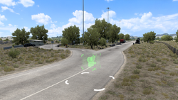
| ||
| 6 | Albuquerque | Near |
The Albuquerque Junction | 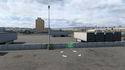
| |
| 7 | Arizona | West of Gallup | The Arizona Welcome Center Rest Area | 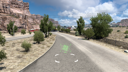
| |
| 8 | New Mexico | Santa Fe | Near |
The city of Santa Fe | 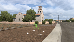
|
| 9 | North of Santa Fe | US-84 rest area | 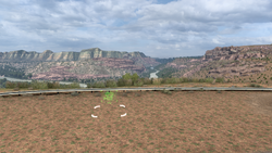
| ||
| 10 | Southwest of Raton | US-64 rest area | 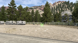
|
Map
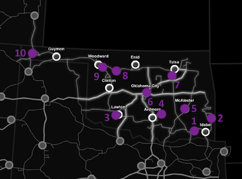
Oklahoma
TBA
Map
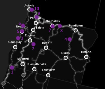
Oregon
| Number on Map | State | City/Road | Location | Place of interest | Photo |
|---|---|---|---|---|---|
| 1 | California | Between Eureka, California and Medford | US-199 Sequoia Forest | 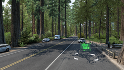
| |
| 2 | Oregon | Eugene | Southwest of |
Oregon Paper Mill | 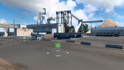
|
| 3 | Between Coos Bay and Newport | Thor's Well | 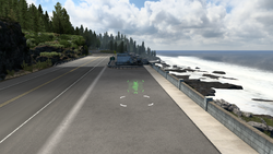
| ||
| 4 | South of Pendleton | US-395 Vista | 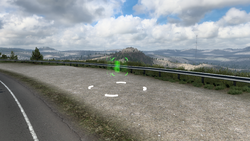
| ||
| 5 | Newport | East of |
Newport Yaquina Bay Bridge | 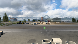
| |
| 6 | Newport | East of |
Yaquina Head Lighthouse | 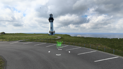
| |
| 7 | The Dalles | On |
The Dalles city | 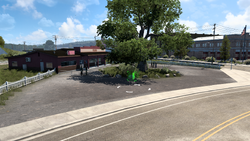
| |
| 8 | Biggs Junction | On |
The Biggs Junction | 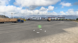
| |
| 9 | Portland | In Haddock Shipyard northwest of the city | Portland Shipyard | 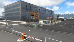
| |
| 10 | Astoria | On |
Astoria-Megler Bridge | 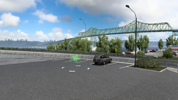
|
Map
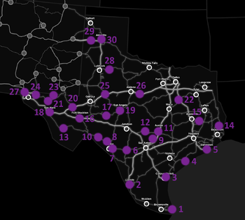
Texas
| Number on Map | State | City/Road | Location | Place of interest | Photo |
|---|---|---|---|---|---|
| 1 | Texas | Brownsville | On |
Space rocket facility | 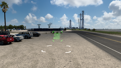
|
| 2 | Laredo | In the city center | The city of Laredo | 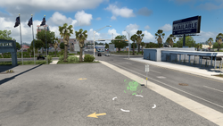
| |
| 3 | Corpus Christi | At the Taylor depot near the |
The city of Corpus Christi | 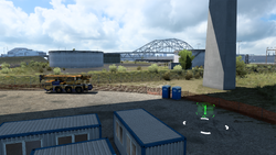
| |
| 4 | Palacios | Between the Mary's Cotton and Sea Horizon depots south of |
The city of Palacios | 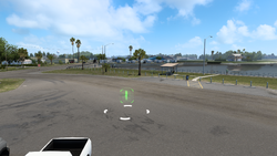
| |
| 5 | Galveston | Near the Sea Horizon depot southwest of the city | The city of Galveston | 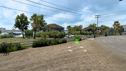
| |
| 6 | Uvalde | At the junction with |
The city of Uvalde | 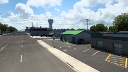
| |
| 7 | Del Rio | East of the city | The city of Del Rio | 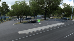
| |
| 8 | North of the city | Governor's Landing Bridge | 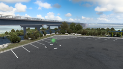
| ||
| 9 | New Braunfels | At the NAMIQ quarry (part of San Antonio) north of |
Quarry | 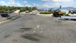
| |
| 10 | Between Del Rio and Fort Stockton nearest to |
The Pecos river | 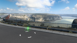
| ||
| 11 | Austin | Across the NAMIQ depot south of the city | The city of Austin | 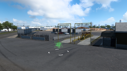
| |
| 12 | Fredericksburg | On |
The city of Fredericksburg | 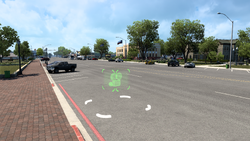
| |
| 13 | Southeast of Van Horn | Marfa Lights | 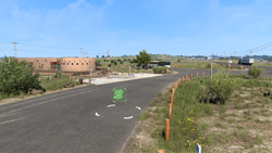
| ||
| 14 | Across the Chuck & Jack's Harvest site north of Beaumont | Buna county | 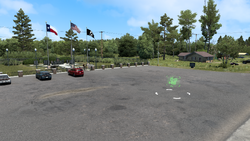
| ||
| 15 | East of Huntsville | Lake Livingston | 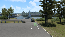
| ||
| 16 | Fort Stockton | In the city center | The city of Fort Stockton | 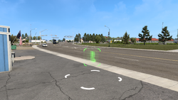
| |
| 17 | South of the Vitas Power construction site west of San Angelo | Wind power plants | 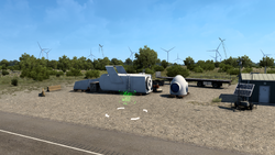
| ||
| 18 | Van Horn | In the city center | The city of Van Horn | 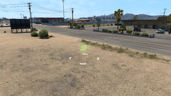
| |
| 19 | San Angelo | On the |
The city of San Angelo | 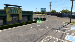
| |
| 20 | Pecos | On |
The town of Pecos | 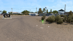
| |
| 21 | East of El Paso | The Salt Flats | 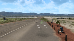
| ||
| 22 | Corsicana | On |
The city of Corsicana | 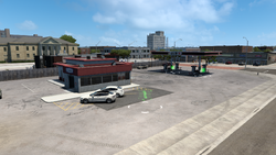
| |
| 23 | Southwest of Carlsbad, New Mexico | El Capitan | 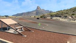
| ||
| 24 | El Paso | At the El Paso Freight depot northeast of the city | El Paso airport | 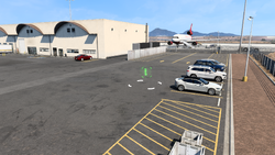
| |
| 25 | Big Spring | On |
The city of Big Spring | 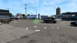
| |
| 26 | East of Abilene | Pecan farm | 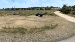
| ||
| 27 | Anthony | Off of |
The Gateway to Texas | 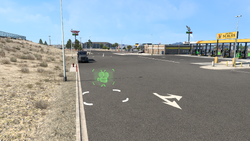
| |
| 28 | East of Lubbock | Silver Falls rest area | 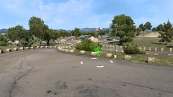
| ||
| 29 | Adrian | Just north of |
The city of Adrian | 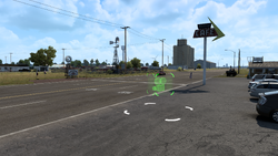
| |
| 30 | Amarillo | In the city center north of the interchange with |
The city of Amarillo | 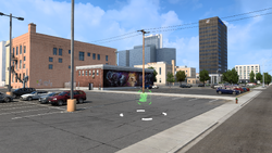
|
Map
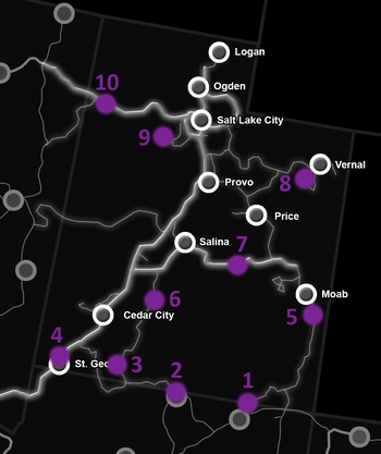
Utah
| Number on Map | State | City/Road | Location | Place of interest | Photo |
|---|---|---|---|---|---|
| 1 | Utah | North of Kayenta, Arizona | The Monument Valley | 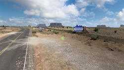
| |
| 2 | Arizona | North of Page, Arizona | The Glen Canyon Dam Bridge | 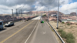
| |
| 3 | Utah | East of St. George | The Moqui Cave | 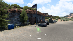
| |
| 4 | St. George | On |
The city of St. George | 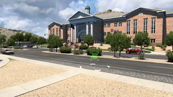
| |
| 5 | South of Moab | The Hole N'' The Rock landmark | 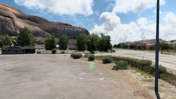
| ||
| 6 | East of Cedar City | The Hoover Rest Area | 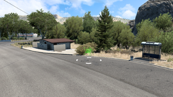
| ||
| 7 | West of Moab | The San Rafael Swell area | 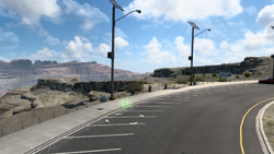
| ||
| 8 | In the Gallon Oil oil fields southwest of Vernal | Oil Fields of Utah | 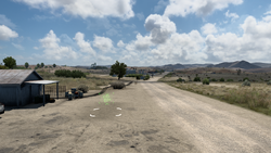
| ||
| 9 | Salt Lake City | At a Coastline Mining quarry southwest of the city | The Bingham Canyon Mine | 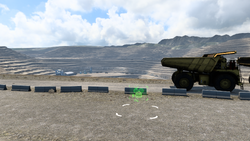
| |
| 10 | West of Salt Lake City | The Bonneville Salt Flats | 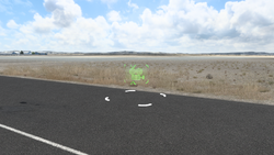
|
Map
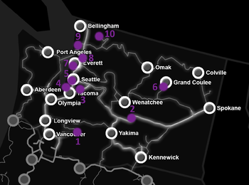
Washington
| Number on Map | State | City/Road | Location | Place of interest | Photo |
|---|---|---|---|---|---|
| 1 | Washington | Unnumbered road | East of Vancouver | Mt. St. Helens | 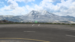
|
| 2 | Southeast of Wenatchee | Vantage Bridge | 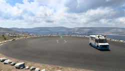
| ||
| 3 | Seattle | On |
Kenworth Factory | 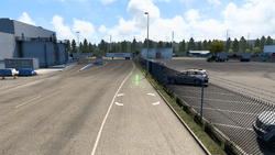
| |
| 4 | Seattle | Port of Seattle south of the city | Seattle Port | 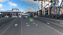
| |
| 5 | Seattle | On 4th Ave south of the city | Seattle Downtown | 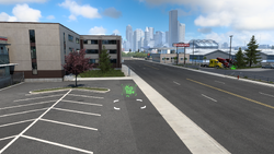
| |
| 6 | Grand Coulee | On |
Grand Coulee Dam | 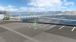
| |
| 7 | Everett | Darwing factory south of the city | Aircraft Factory | 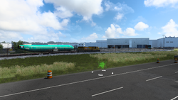
| |
| 8 | Everett | On |
Everett Swing Bridge | 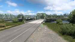
| |
| 9 | North of Everett | Deception Pass | 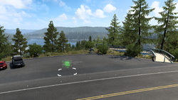
| ||
| 10 | At a Deepgrove timber harvest east of Bellingham | Washington Timber Harvest Site | 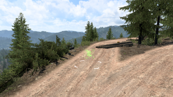
|
Map
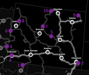
Wyoming
| Number on Map | State | City/Road | Location | Place of interest | Photo |
|---|---|---|---|---|---|
| 1 | Utah | Between Vernal, Utah and Rock Springs | Flaming Gorge Dam | 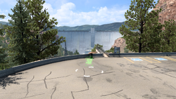
| |
| 2 | Wyoming | Cheyenne | Near the American Lines depot northeast of the city | City of Cheyenne | 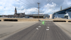
|
| 3 | Evanston | Near the Wallbert food market east of the city | City of Evanston | 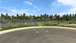
| |
| 4 | Utah | Garden City | On |
Bear Lake | 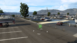
|
| 5 | Wyoming | West of Casper | Hell's Half Acre | 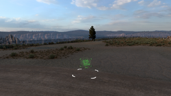
| |
| 6 | Alpine | On |
Alpine | 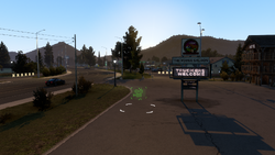
| |
| 7 | North of Riverton | Boysen State Park | 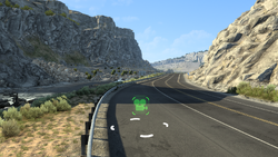
| ||
| 8 | North of Jackson | Grand Teton National Park | 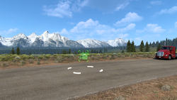
| ||
| 9 | Devils Tower | On |
Devils Tower | 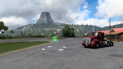
| |
| 10 | West of Sheridan | Big Horn National Forest | 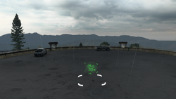
|
Map
History
In update 1.39, more viewpoints were added in the Washington and Utah map expansions, and the icon marked on the map, was changed to a camera. 20 more viewpoints (10 in Washington, 10 in Utah) were added to the game.
The release of the Colorado map expansion on November 12, 2020, featured 10 new viewpoints.
In update 1.40, more viewpoints were added in the New Mexico and Oregon map expansions. 20 more viewpoints (10 in New Mexico, 10 in Oregon) were added to the game.
The release of the Wyoming map expansion on September 7, 2021, featured 10 new viewpoints.
The release of the Montana map expansion on August 4, 2022, featured 10 new viewpoints.
In update 1.46, more viewpoints were added in California and the Montana map expansion. 3 more viewpoints (2 in California, 1 in Montana) were added to the game.
The release of the Texas map expansion on November 15, 2022, featured 30 new viewpoints.
The release of the Oklahoma map expansion on August 1, 2023, featured 10 new viewpoints.
Related Achievements
- The achievement The Director requires you to trigger all viewpoints in Idaho.
- The achievement Over Plains and Mountains requires you to trigger all viewpoints in Wyoming.
- The achievement Big Sky Country requires you to trigger all viewpoints in Montana.
- The achievement Big Country Views requires you to trigger at least 25 viewpoints in Texas.
References
| American Truck Simulator Content | |
|---|---|
| World | |
| Vehicles | |
| Facilites | Airports • Ferry • Garages • Gas Stations • Service Shops • Recruitment Agency • Seaports • Toll Gates • Truck Dealers • Truck Stops • Weigh Stations |
| Other | |
| Guides/Tutorials | |

