List of Truck Stops in California
Jump to navigation
Jump to search
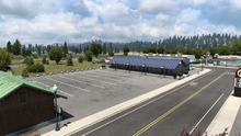
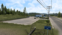
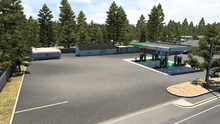
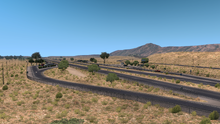
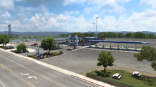
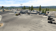
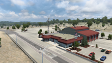
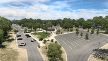
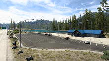
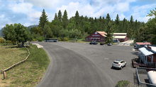
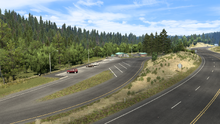
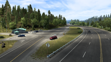
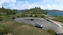
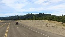
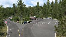
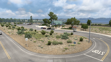
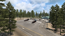
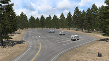
This page contains a list of truck stops and rest stops in California rendered in American Truck Simulator.
Truck Stops
Notes for the columns in the table:
- City/Road: Location to what city or road the truck stop is in.
- Location: Exact location of where the truck stop is.
- Name: Actual name of the truck stop.
- Fuel pump: If applicable, the name of the gas station brand in-game.
- Features: How many functions the truck stop includes (e.g. gas stations, rest stops, vice versa).
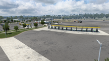
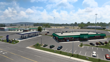
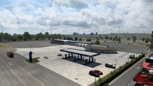
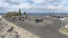
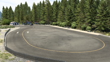
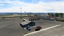
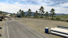
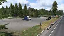
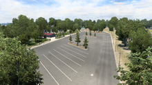
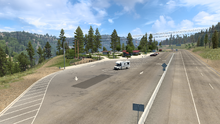
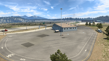
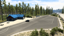
- Image: An in-game screenshot depicting the truck stop itself.
| City/Road | Location | Name | Fuel pump (if applicable) | Features | Image |
|---|---|---|---|---|---|
| Alturas | On |
Rest Area | |||
| Arcata | On Myrtle Avenue off |
Aron Arcata | Aron | ||
| Burney | On |
NAF Burney | NAF | ||
| Cactus City | On |
Cactus City Rest Area | |||
| Corning | On South Ave, |
Love's Travel Stop Corning | Phoenix | ||
| Corning | On South Ave, |
Petro Travel Center Corning | NAF | ||
| Corning | South of Redding, |
TA Travel Center Corning | Aron | ||
| Crescent City | On the pier off |
Rest Area | |||
| Douglas City | On |
Moon Lim Lee Rest Area | |||
| Dunnigan | On Road 8, |
Pilot Travel Center Dunnigan | Driverse | ||
| Hilt | On the eastern side of town, beside the Bitumen roadworks | Rest Area | |||
| Klamath | On |
Forest Cafe | |||
| Redding | Exit 673 (Knighton Rd) on |
TA Travel Center Redding | WP | ||
| Sacramento | Exit 85 (West El Camino Ave) on |
Sacramento 49er Travel Plaza | Driverse | ||
| Northbound between Sacramento and Redding, the exit after Corning | Cottonwood Weigh Station | ||||
| Northbound from Sacramento to Redding, between Dunnigan and Corning | Willows Rest Area Northbound | ||||
| Southbound from Redding to Sacramento, between Corning and Dunnigan | Willows Rest Area Southbound | ||||
| Northbound between Redding and Hilt | O'Brien Rest Area | ||||
| Westbound between Reno and Truckee, the exit just before the agricultural inspection station | Donner Pass Commercial Vehicle Enforcement Facility | ||||
| Eastbound between Sacramento and Truckee | Donner Pass Rest Area Eastbound | ||||
| Westbound between Truckee and Sacramento | Donner Pass Rest Area Westbound | ||||
| Between Eureka and Coos Bay, on the eastern side of the road | Elk Country RV Resort & Campground | ||||
| Between Ukiah and Eureka travelling northbound, shortly after passing through Laytonville | Empire Camp Rest Area | ||||
| Between Eureka and Ukiah travelling southbound, shortly after passing through Laytonville | Moss Cove Rest Area | ||||
| Between Eureka and Coos Bay, on the western side of the road | Redwood Creek Picnic Area | ||||
| Between San Francisco and Ukiah, just north of Petaluma | Rest Area | ||||
| Coming from Crescent City, the exit just before the tunnel and agricultural inspection station | Collier Tunnel Rest Area | ||||
| Between Reno and Susanville | Honey Lake Rest Area | ||||
| South of Olancha | Pearsonville Shell | ||||
| Between Redding and Susanville | Bogard Rest Area | ||||
| Between Redding and Susanville | Bogard RV Parking |
See also
| Truck Stops in American Truck Simulator | |
|---|---|
Arizona • California • Colorado • Idaho • Montana • Nevada • New Mexico • Oregon • Texas • Utah • Washington • Wyoming |
| Cities |
| ||||||
|---|---|---|---|---|---|---|---|
| Highways |
| ||||||
| See also | |||||||

