File:Interstate 35E and Interstate 35W map.png
Jump to navigation
Jump to search

Size of this preview: 559 × 600 pixels. Other resolutions: 224 × 240 pixels | 1,193 × 1,280 pixels.
Original file (1,193 × 1,280 pixels, file size: 72 KB, MIME type: image/png)
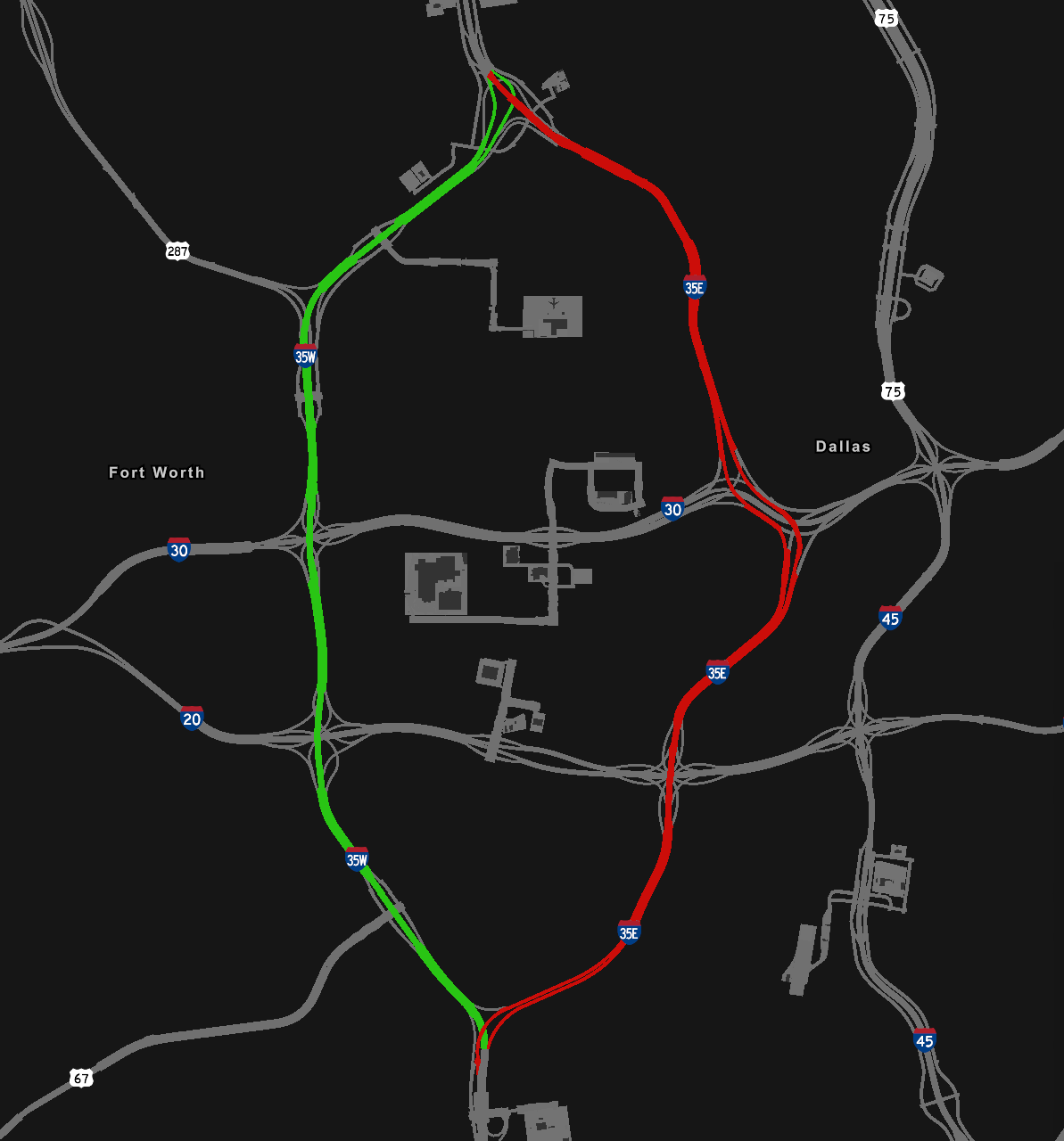
A map of Interstate 35E (marked in red) and Interstate 35W (marked in green) in American Truck Simulator.
File history
Click on a date/time to view the file as it appeared at that time.
| Date/Time | Thumbnail | Dimensions | User | Comment | |
|---|---|---|---|---|---|
| current | 01:40, 11 September 2023 | | 1,193 × 1,280 (72 KB) | Technology With Pro (talk | contribs) | 1.48 |
| 02:08, 16 January 2023 | 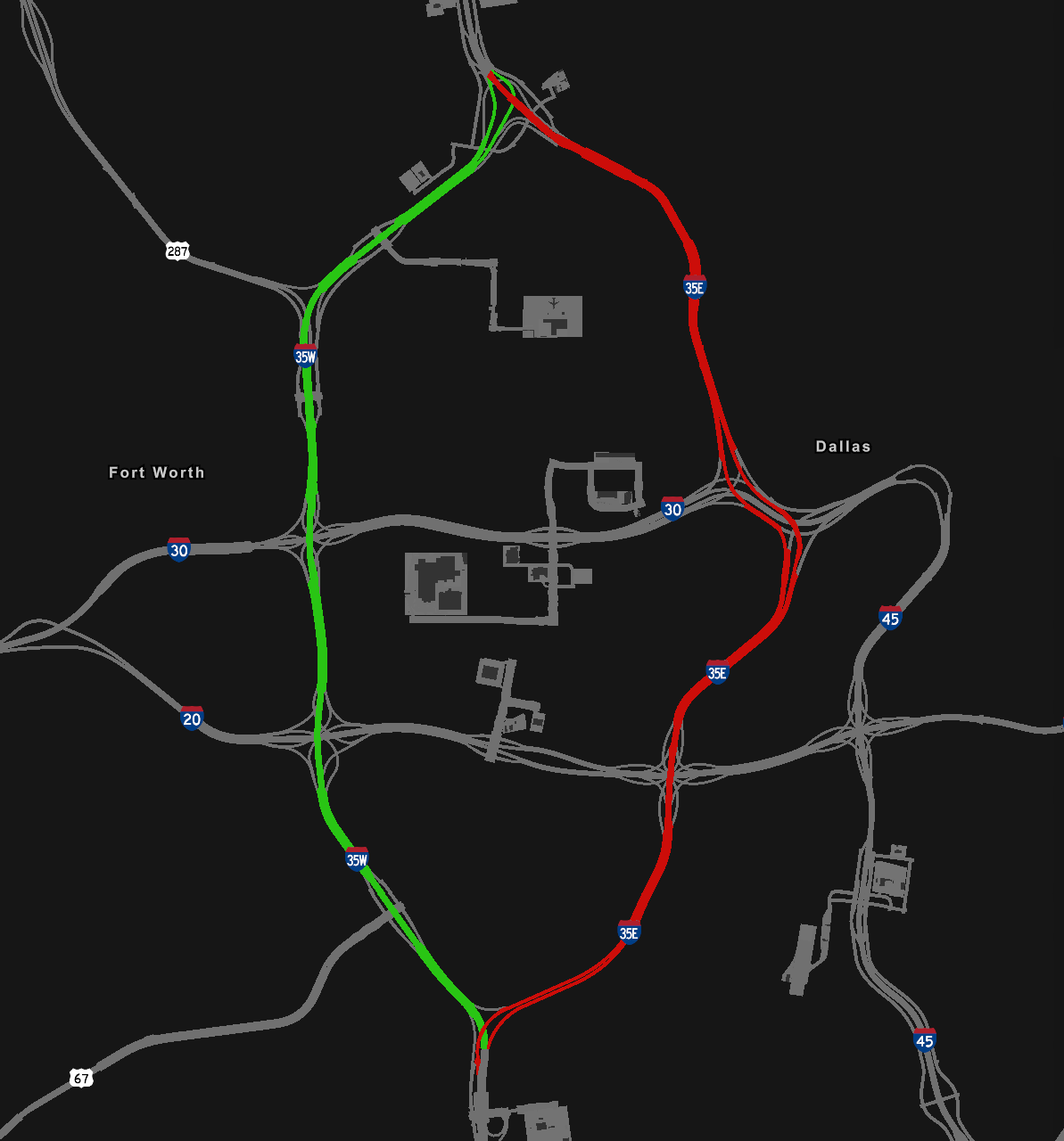 | 1,193 × 1,280 (61 KB) | Technology With Pro (talk | contribs) |
You cannot overwrite this file.
File usage
The following 3 pages use this file: