File:A180 map.png
Jump to navigation
Jump to search

Size of this preview: 800 × 262 pixels. Other resolutions: 320 × 105 pixels | 1,107 × 362 pixels.
Original file (1,107 × 362 pixels, file size: 226 KB, MIME type: image/png)
Summary
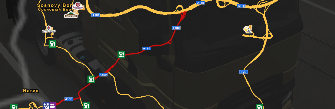
Map of Federal Highway ![]() "Narva". It runs from
"Narva". It runs from ![]() Saint Petersburg to
Saint Petersburg to ![]() Narva border.
Narva border.
File history
Click on a date/time to view the file as it appeared at that time.
| Date/Time | Thumbnail | Dimensions | User | Comment | |
|---|---|---|---|---|---|
| current | 22:33, 21 December 2022 | 1,107 × 362 (226 KB) | Pcj (talk | contribs) | imported from Fandom |
You cannot overwrite this file.
File usage
The following 2 pages use this file: